All Images and
materials contained within this site
are Copyright 2000-2007 James Slaten unless otherwise noted.
The South Bass trailhead lies within the National Park, however accessing the trailhead essentially requires that you cross Tribal lands for a short period for which the Havasupai are more than willing to charge $25 per vehicle per entry; meaning if you leave the road on tribal lands, go into town for food and come back, you will need to pay $25 to re-enter the tribal lands. When you pay to enter tribal lands you must declare how long you stay will be inside the park and therefore when you will be exiting, I can only surmise that they will also charge a fee if you were to come out later than you declared on your permit, therefore it may be a good precautionary measure to show that you will be out for one or two more days than you plan to.
It *may* be possible to access the South Bass trailhead without passing through Tribal lands, but in the end you will probably think it would have been easy, quicker, and a less bumpy ride to pay the $25. On the map the park boundary road appears to stay completely in the park bounds and goto the South Bass trailhead, however after I made my attempt to access the Great Thumb and returned to the Grand Canyon National Park back-country office to report back on what I had learned(they new very little since very few if any people attempt to do this), I was informed that the park boundary road is closed to the public and that it was marked as closed. My only comment is that it is possible to get into the park boundary road and avoid paying the $25 fee without passing any "road closed" or "do not enter" signs, however, like I said before, the road is VERY rough and you will probably wish you had paid the $25. After a short while on the park boundary road I cut over to the pasture wash road and paid to cross tribal land. When you enter the tribal land there will be a cattle guard at the boundary between the reservation and the national forest, there will also be a sign showing that there is a permit fee to cross into the tribal lands, however the fee is not collected until a short distance later where you cannot tell if there is a person waiting to collect the fee.
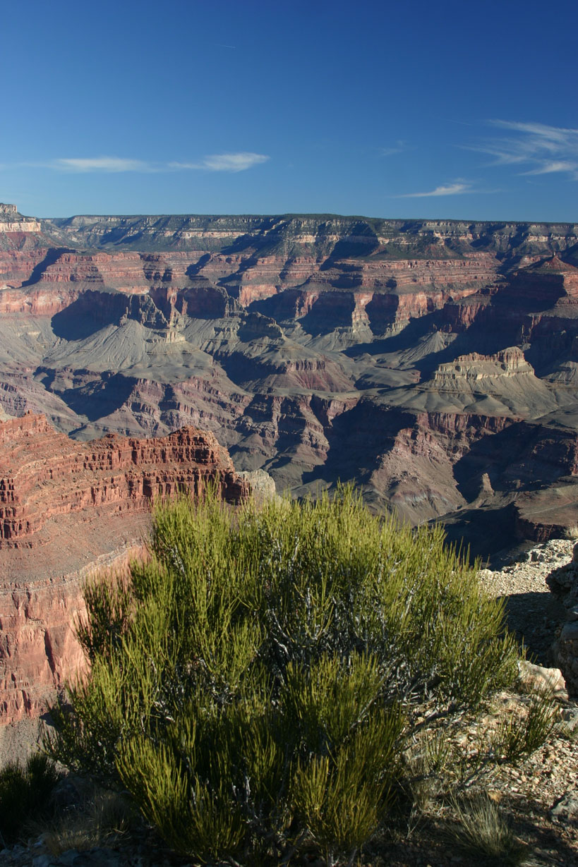
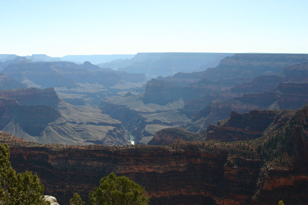
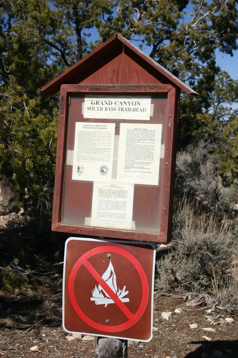
Now lets talk about the South Bass trailhead. Now that you have somehow gotten out to the mesa, three camping possibilities exist on the Mesa all of which require a back-country permit from the back-country office. The first is at the trailhead, there is essentially just a dirt parking lot where you can park at the trailhead, this is also the designated campsite for that area. Its ok if you need to stage yourself at the trailhead for your hike out or down. The next two exist on a side-road that goes off towards the east, each one is open to canyon views of the east and is undeveloped camping(hey its the back-country). The last of these two camp spots is right on the end of the mesa at Havasupai point. This campsite is one of the most remote and breathtaking spots you can drive to, the campsite is open and exposed out on the point and offers views to the east and west. A definite must if you have the time to go out there, the drive is short from the trailhead, but is bumpy and winds through cedar and pinon trees which will try and scrape the paint off your nice new SUV.
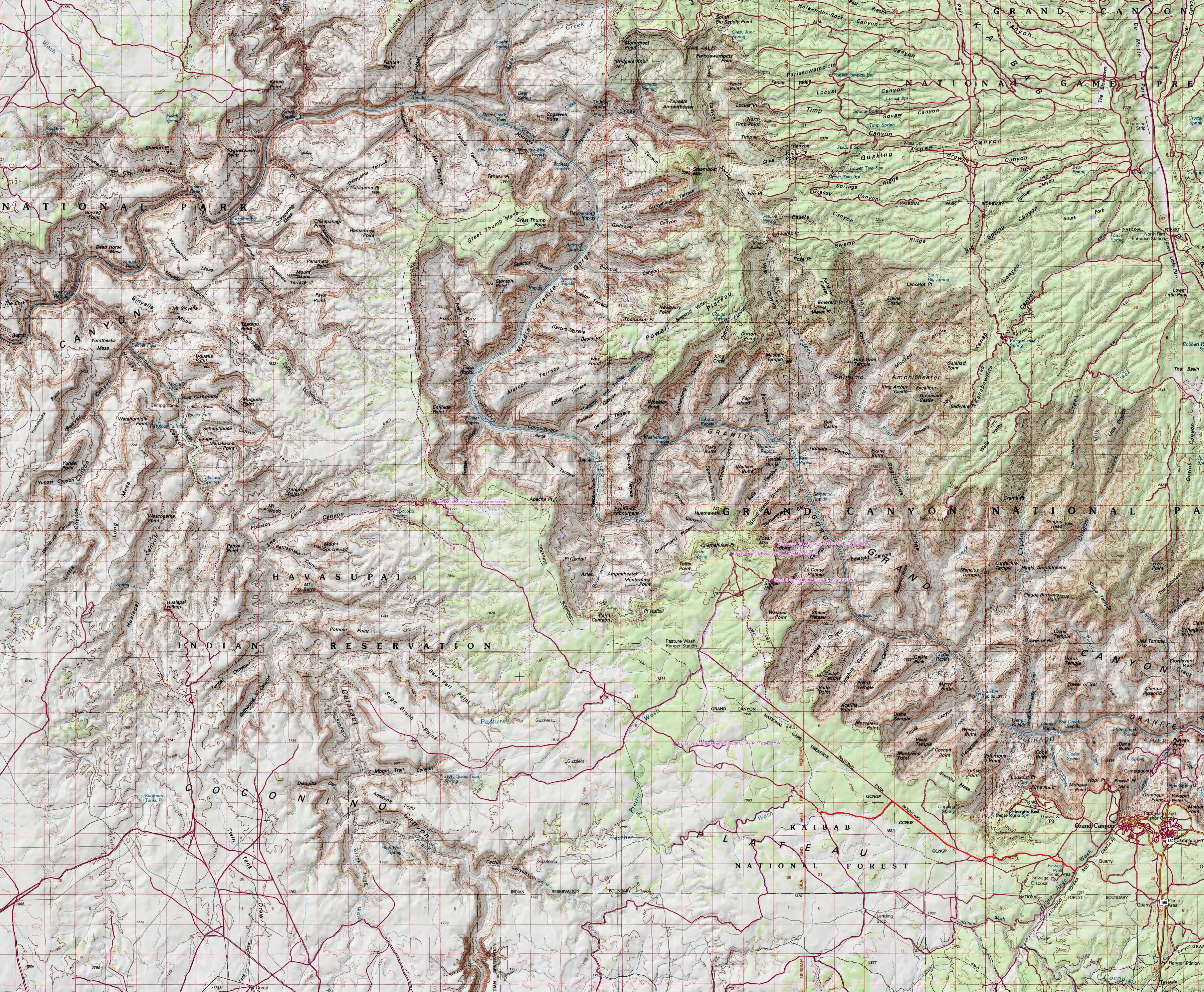
The Havasupai point campsite is located at 36* 11.276' N by 112* 20.968' W.
The Signal Hill campsite is located at 36* 10.234' N by 112* 21.121' W.
Now lets say you attempt to access the Great Thumb from the Pasture Wash road, once on Tribal lands there are no gates, only cattle-guards until you reach the split-off for the Supai Trail road and the Great thumb road. This closed(but not locked) gate is located at:
36* 12.466' N by 112* 33.006' W.
All of these are indicated below on the graphical Topo and the included ".tpo" file.
Here are the .tpo and .jpg topo files for the Great Thumb area of the National Park. The red route indicates how I initially drove the park boundary road only to switch to the main Pasture Wash road, the other campsites and such are the way-points.

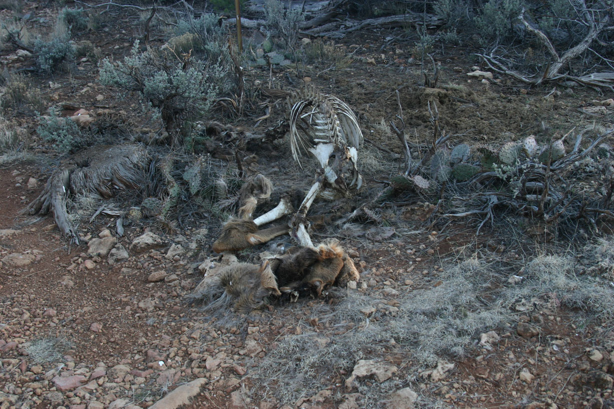
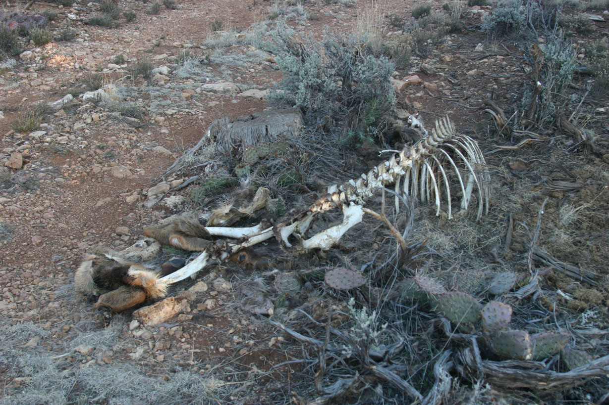
This dead Elk is just off of the park boundary road, it appears to have gotten tangled in the boundary fence while attempting to cross:
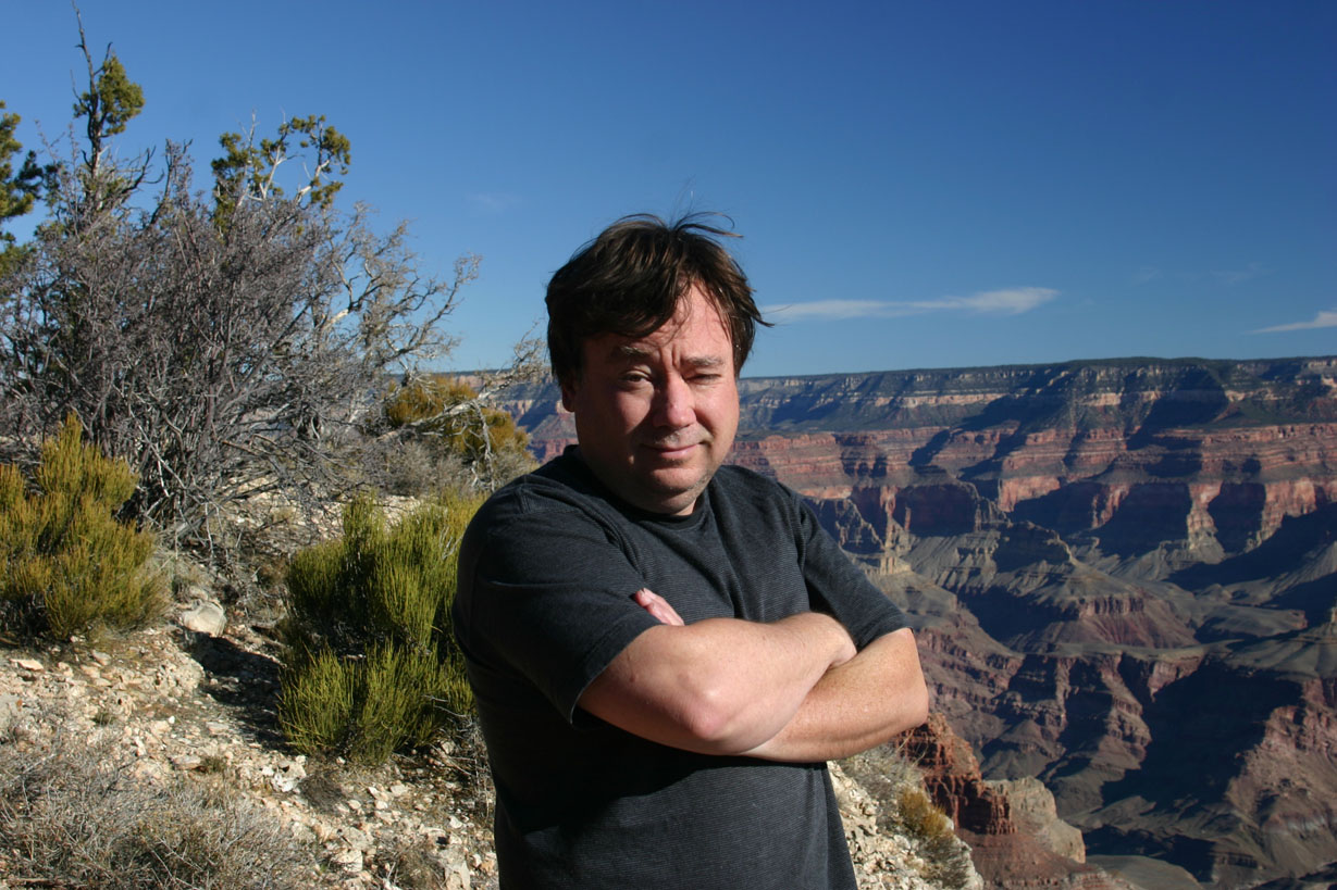
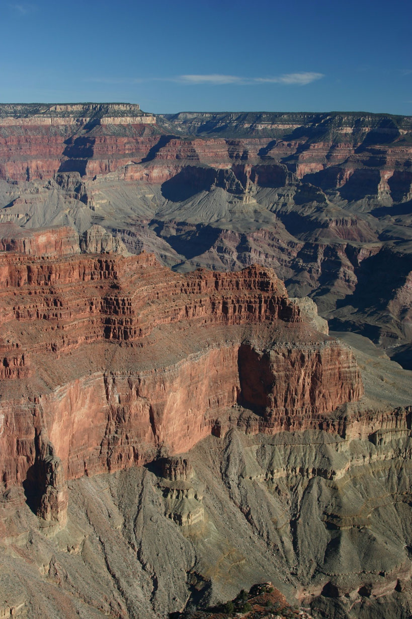
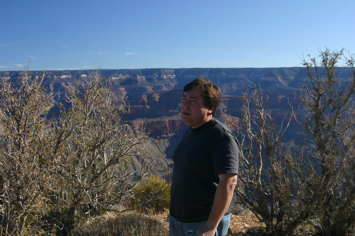
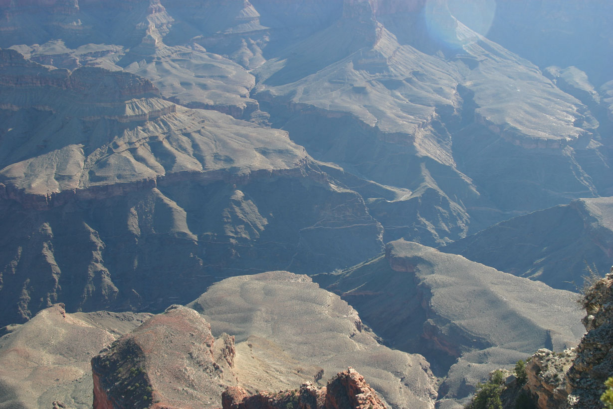
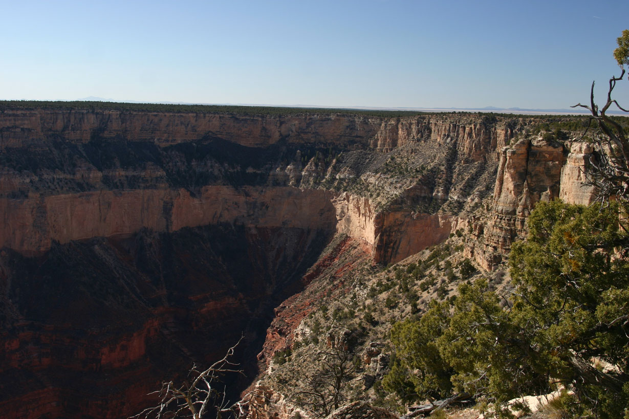
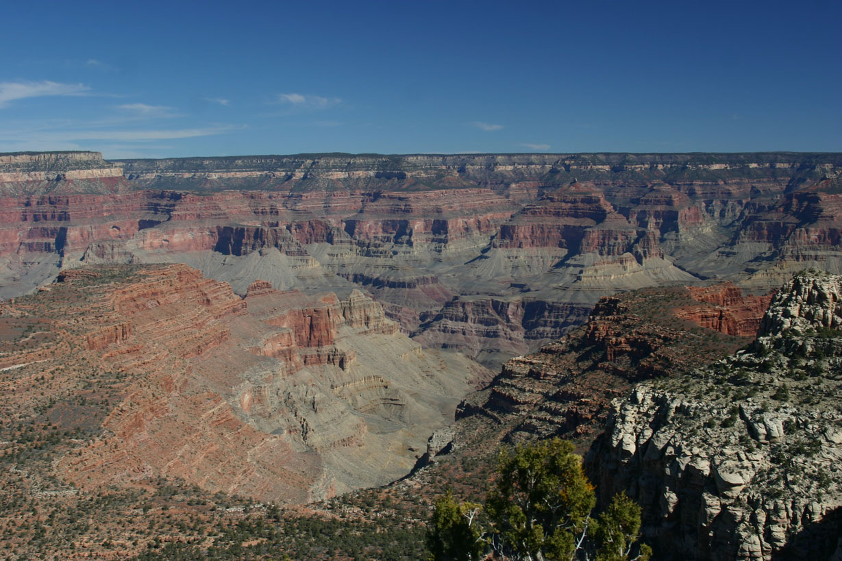
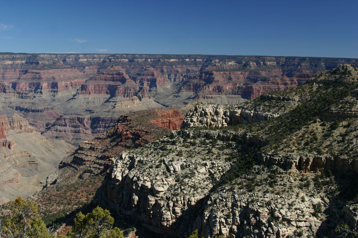
Morning at the Havasupai overlook:
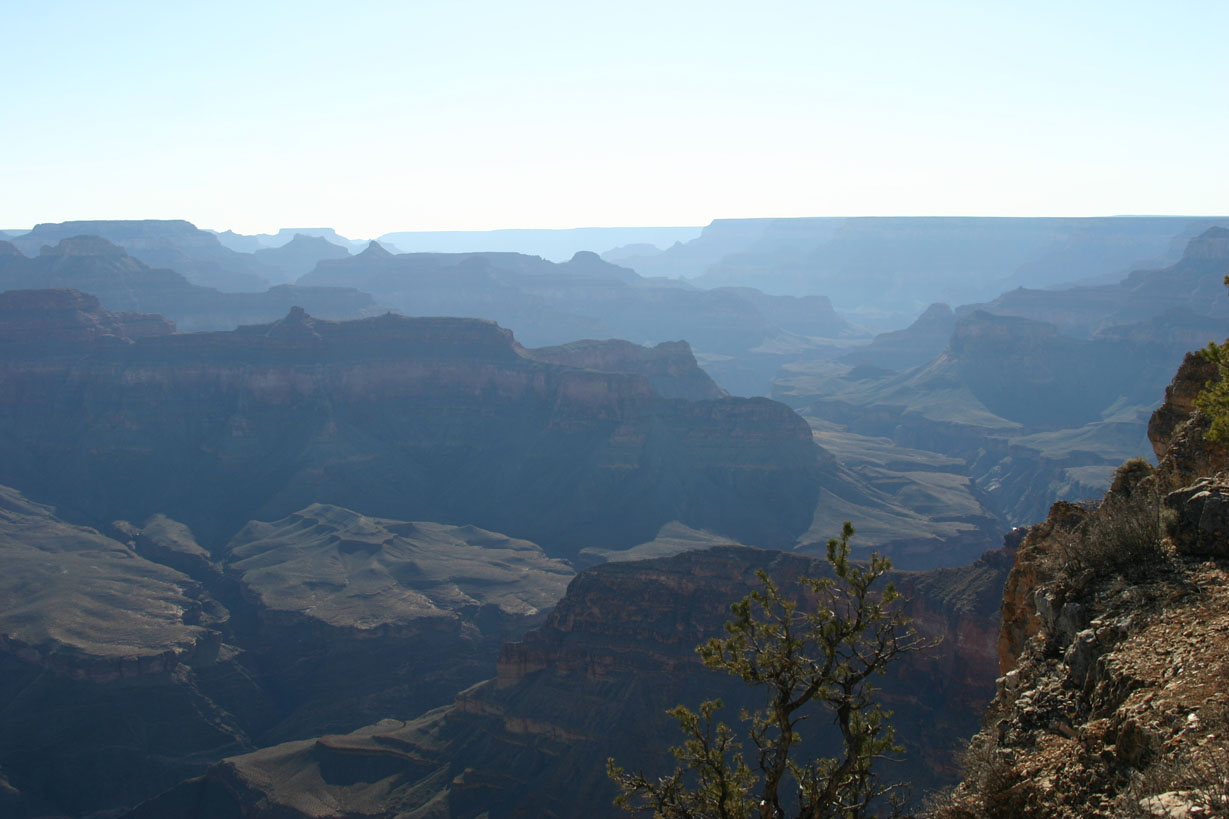
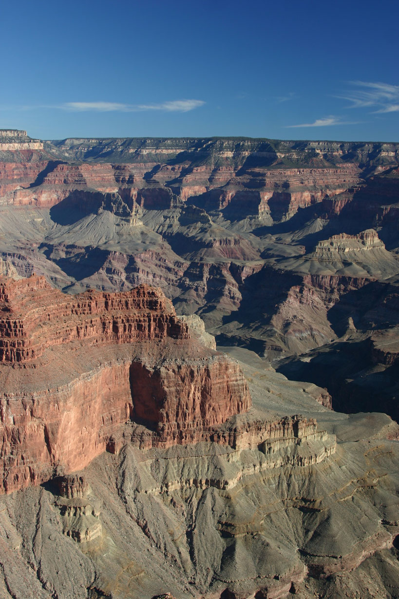
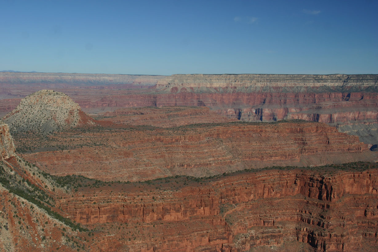
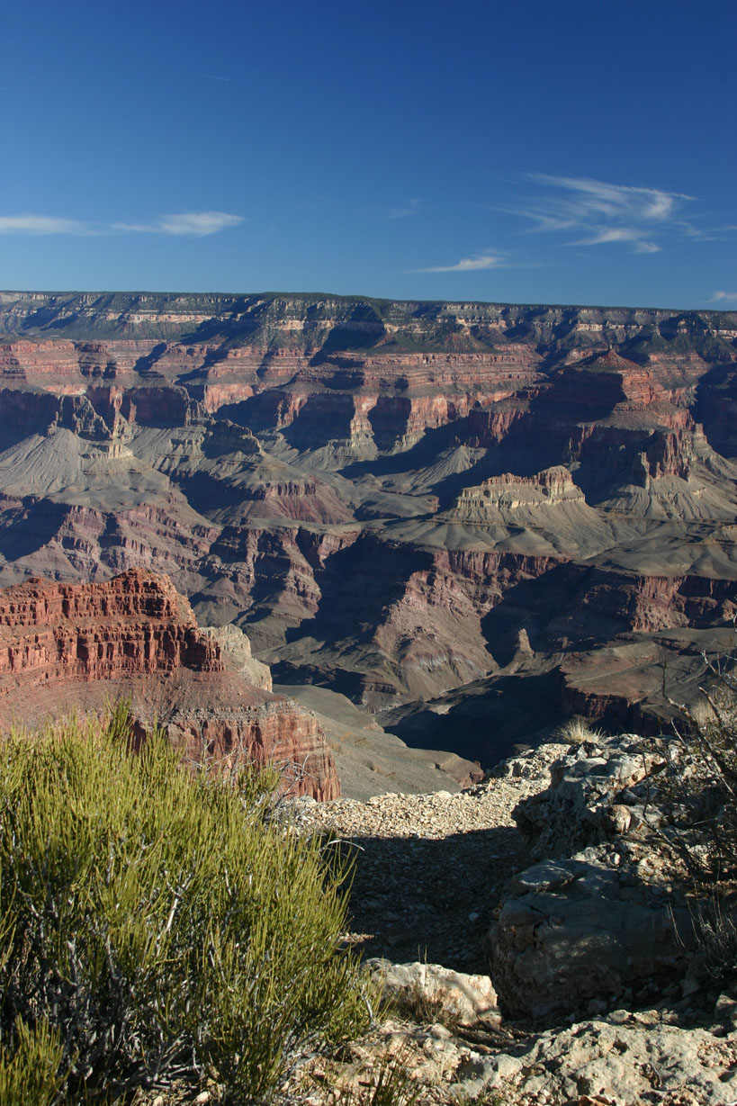
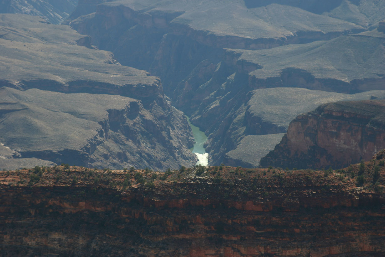
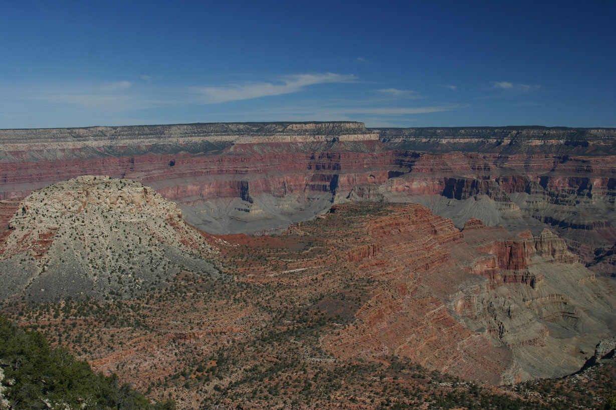
Looking toward the east:
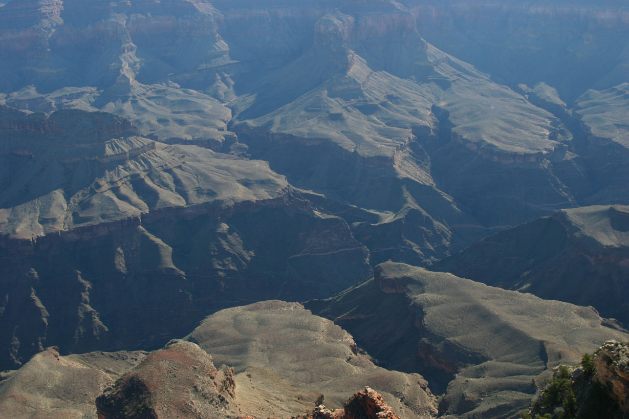
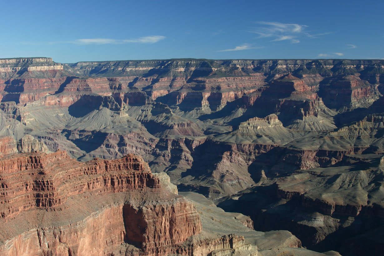
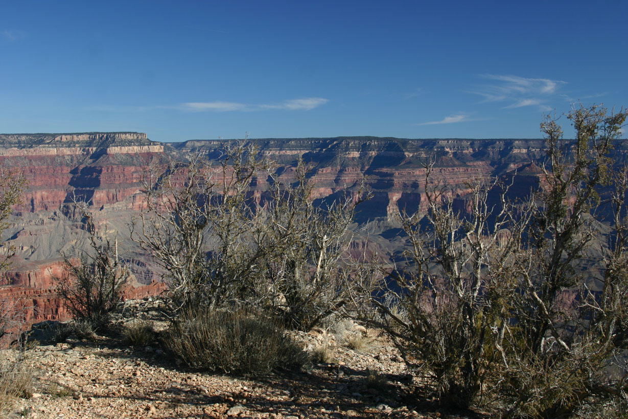
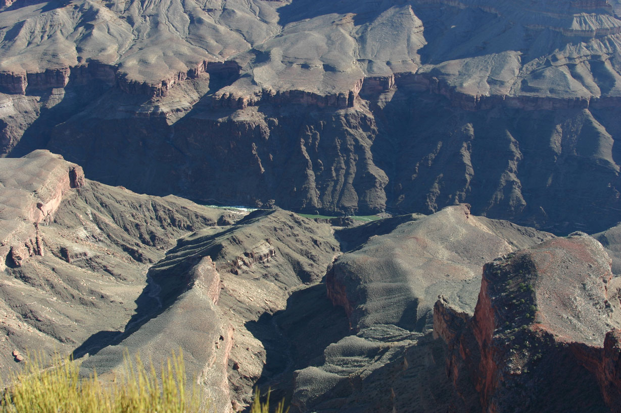
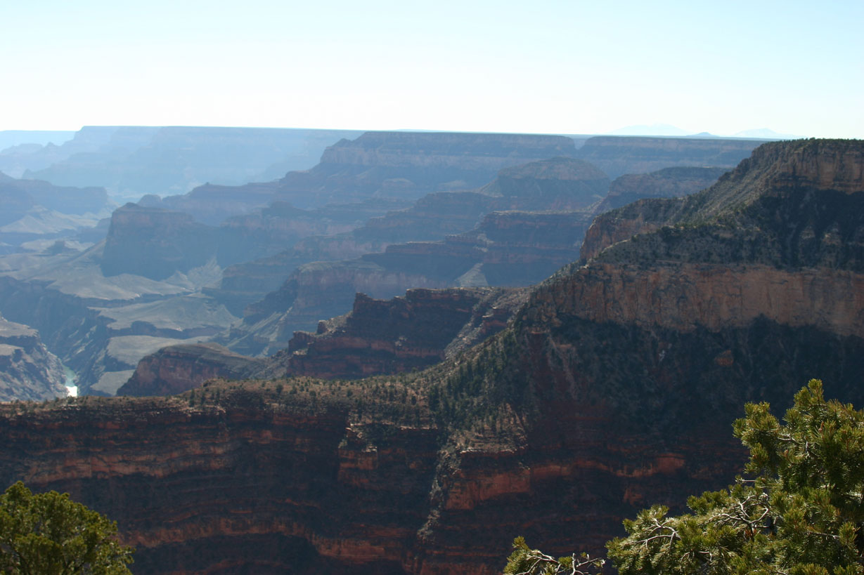
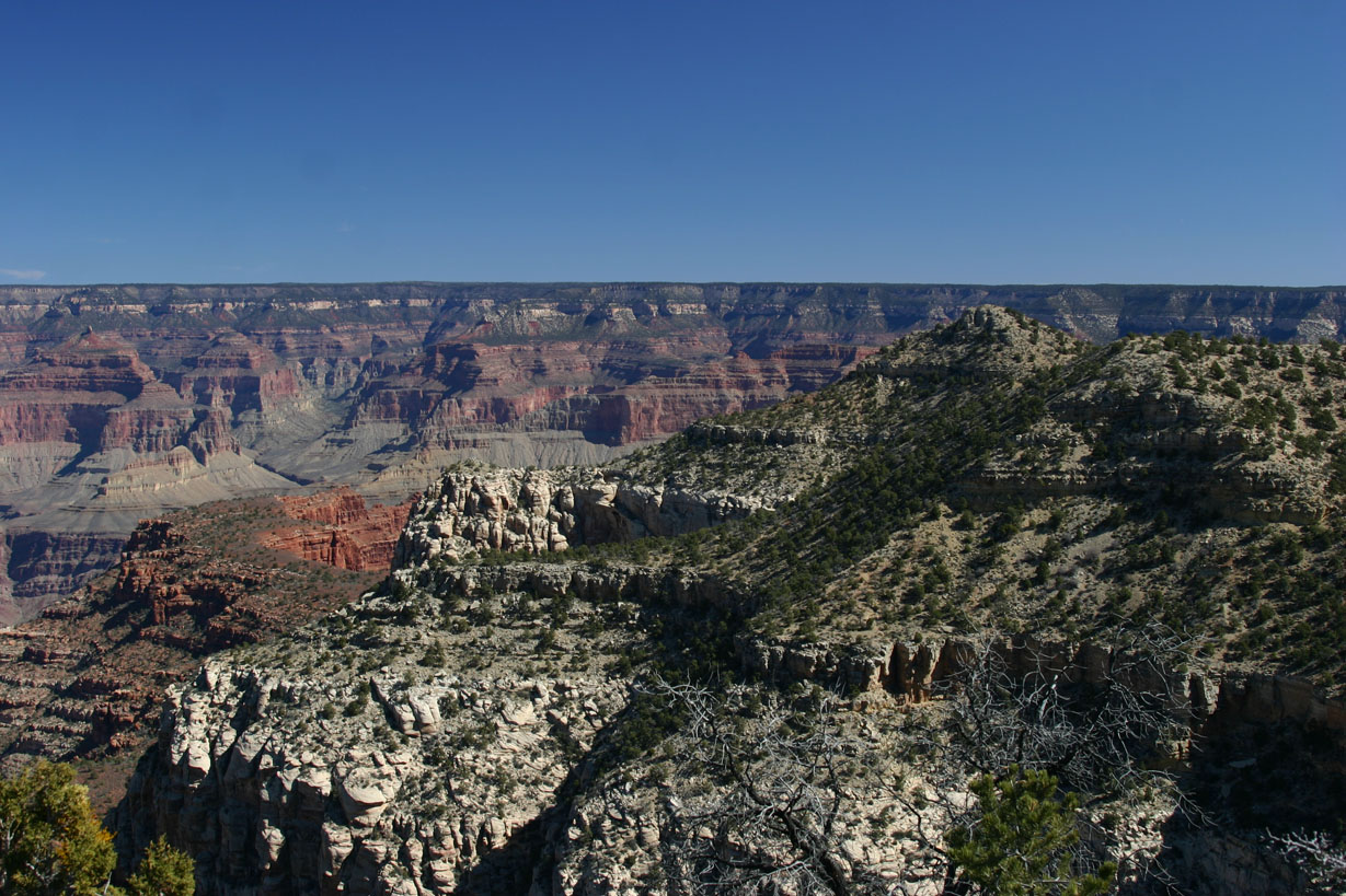
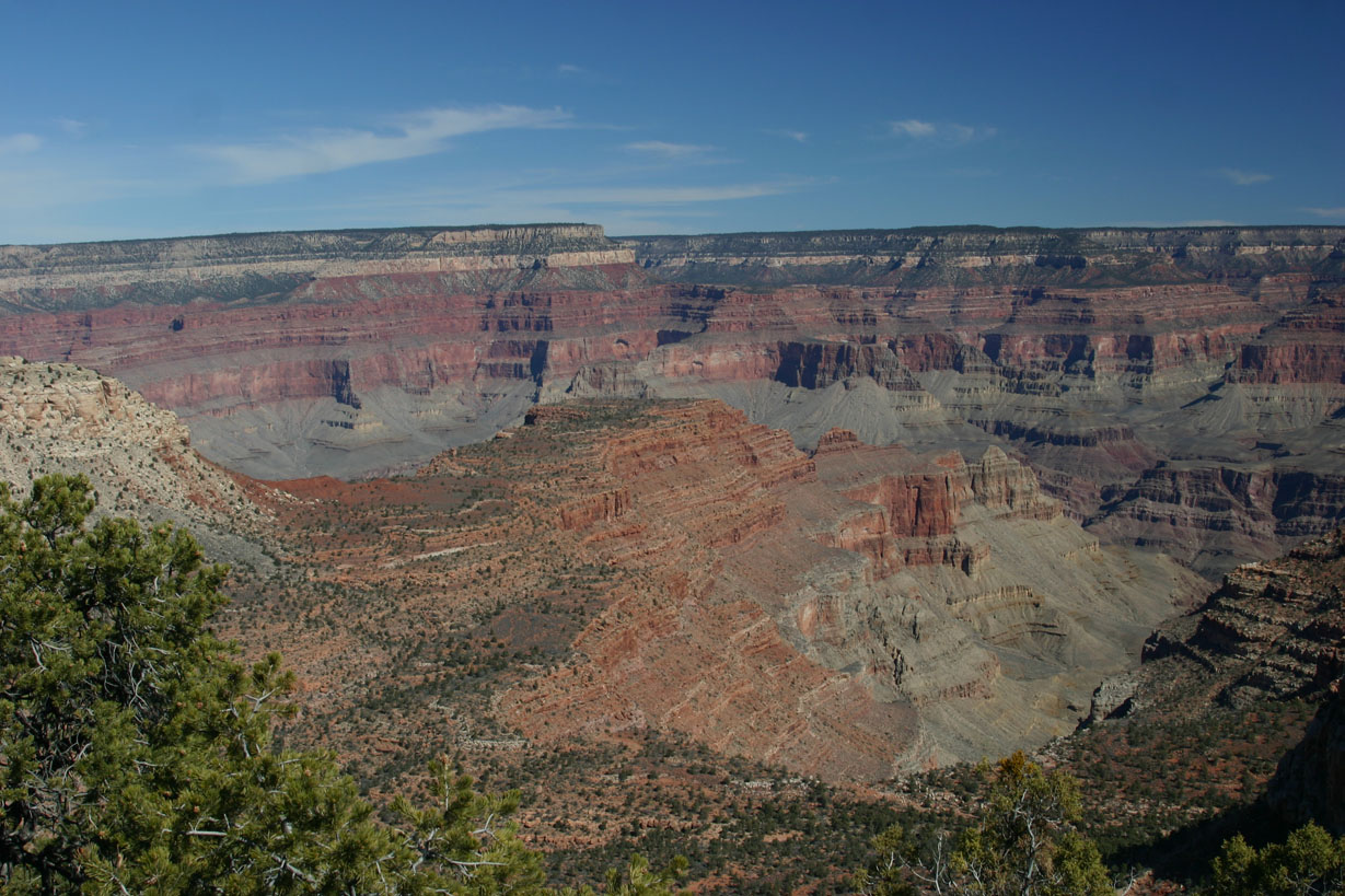
Looking toward the north:
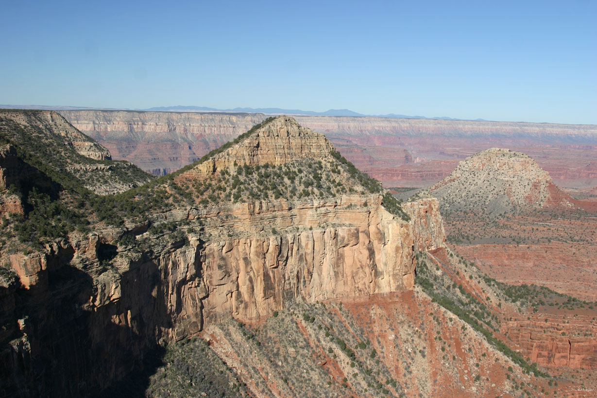
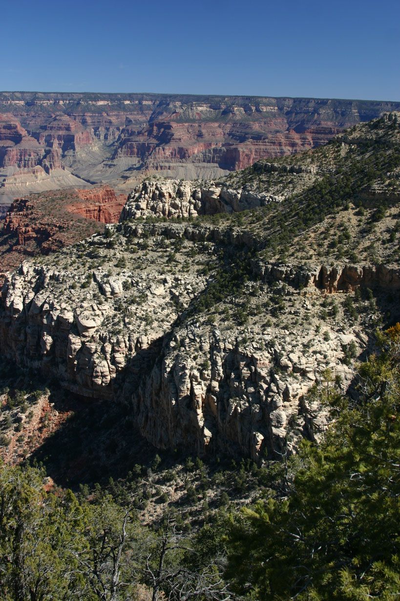
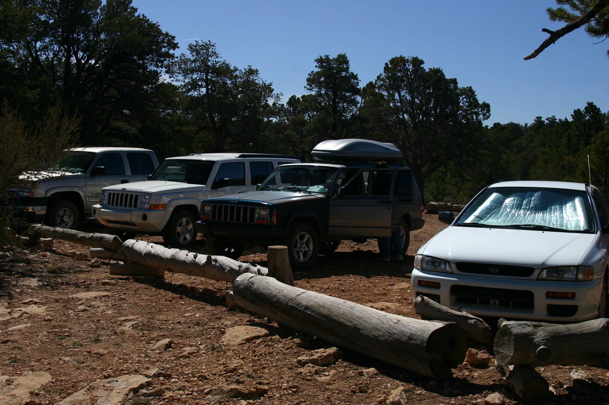
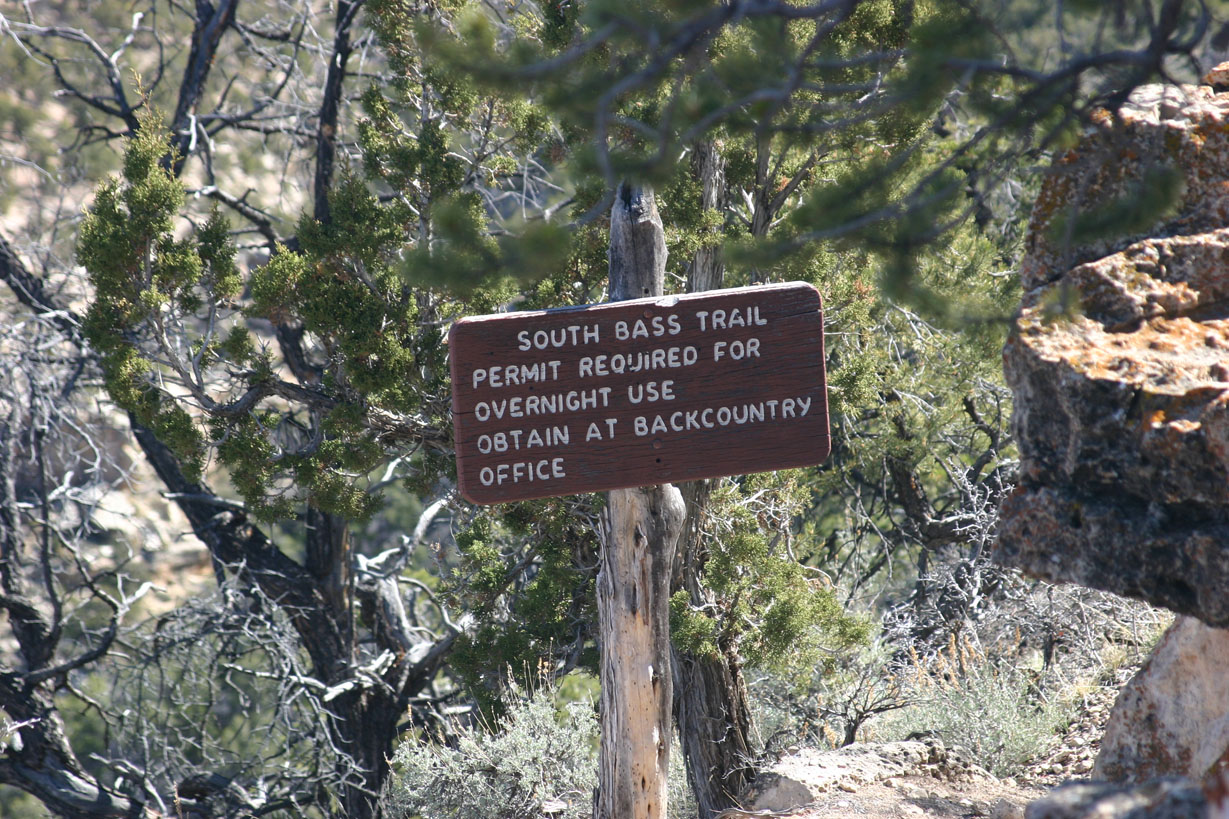
South Bass Trailhead:
Parking lot/campsite at trailhead: